
Walk an Upper Moreland Township Street
An Upper Moreland Township street search works best as an address-to-parcel trail, not as a roll of everyone connected with a road. The county assessment form is the starting point because it accepts a street without a number and lets a researcher limit the result to UPPER MORELAND. The resulting property location and parcel identifier then provide the bridge to maps, recorded documents, and defined municipal files. An owner or mailing field, where displayed, is a record field with a specific purpose. It is not a statement that a named person currently lives at the address.
Keep the exact street spelling, suffix, unit, and postal label as they appear in each source. Upper Moreland Township has Willow Grove and Hatboro postal identities around its boundaries, so delivery wording can differ from municipal geography. For a full road, begin broadly and narrow only after confirming the location. That approach avoids joining similarly named roads in other Montgomery County municipalities to an Upper Moreland Township record trail.
- Open the County address form, enter the street, and choose UPPER MORELAND from Municipality.
- Add a number, direction, suffix, or unit only to narrow a confirmed address. Save the official property location and parcel ID.
- Use the assessment Map Search or the County Open Data portal for visual parcel context, not a legal boundary finding.
- Carry the parcel, sale clue, or book/page clue to the Recorder of Deeds and inspect its dated document trail.
- For voter information, use the individual Pennsylvania registration-status service for the voter concerned, or the controlled written-request route for a qualified street or walking list.
- For an older address, compare a dated directory or telephone book with deeds, maps, and the nearest released census.
Note: A street-only property query creates a research starting set, not a current directory of people on that street.
Upper Moreland Township Street Search Fields
The County’s address form requires Street and makes the other components optional. It accepts an asterisk wildcard, lets a street-only query return addresses on or beginning with that street, and offers Number + Street Anywhere for a broader result. Municipality is the critical local filter. Results may be sorted by Property Address for a street-by-street review, or by Parcel ID, sale date, sales amount, land-use code, or other listed result choices. The sort control does not restore the owner-name search that the County removed in 2022.
The official address search is free after accepting County terms. Parcel Search is a separate mode and accepts a full or partial parcel number. Advanced Search has property-characteristic criteria, but it has no ZIP filter, so a postal code is not a shortcut to a universal property list.
| Address control | Form type | Needed | Upper Moreland Township use |
|---|---|---|---|
| Number | Text, six characters | No | Narrows a confirmed street to one address. |
| Direction | Dropdown | No | Separates directional street forms when the address uses one. |
| Street | Text, 20 characters | Yes | Accepts *; street-only searching is supported. |
| Suffix and Unit# | Dropdown and text | No | Refines the address without changing the municipal filter. |
| Municipality | Dropdown | No | Select UPPER MORELAND to remove countywide duplicates. |
| Parcel ID | Separate text search | Yes on parcel tab | Accepts all or part of a number and reconnects map and property record. |
See the official address form before entering a street query.
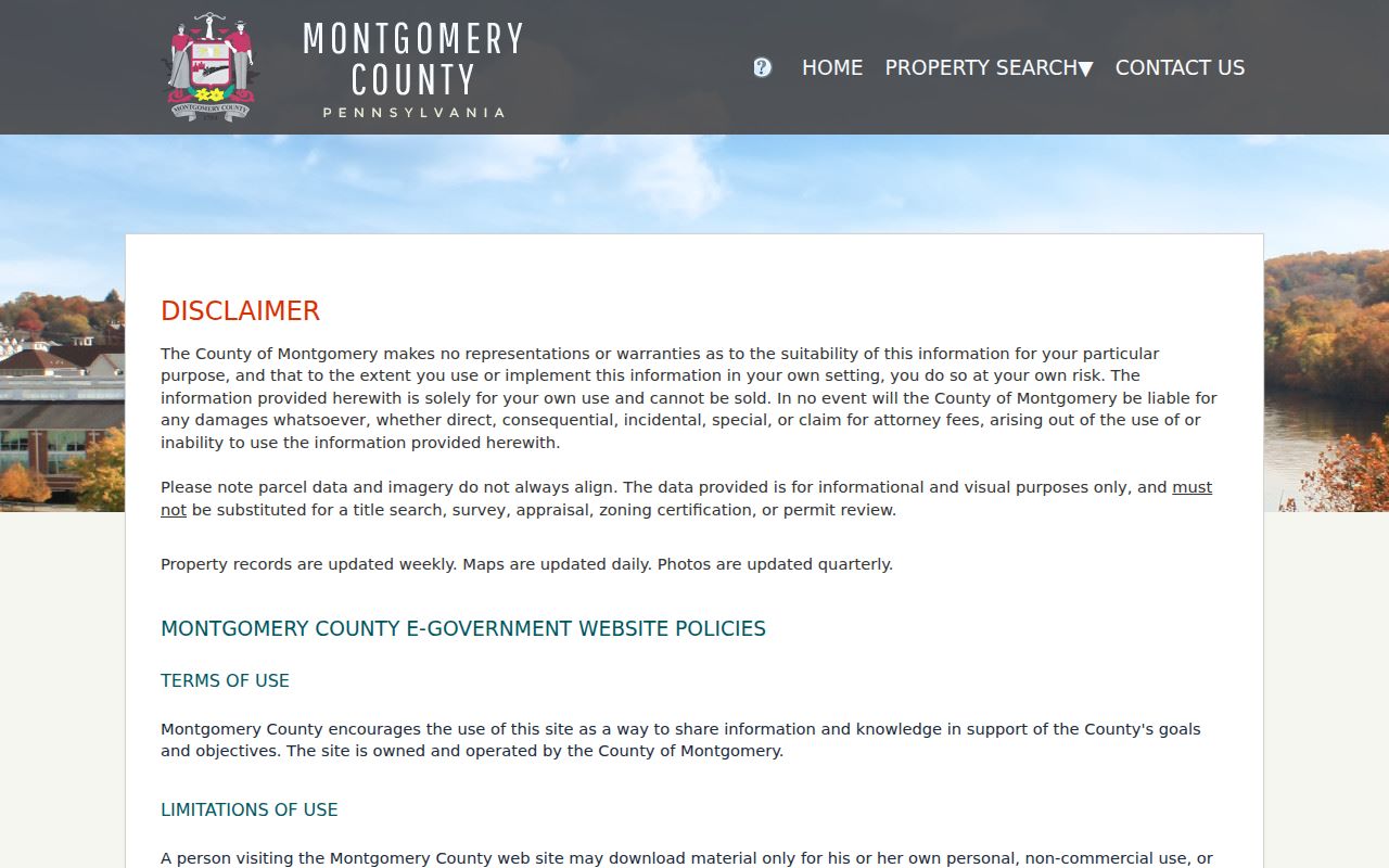
The captured form shows why the street field and Municipality control should be preserved in research notes before moving to deeds or municipal files.
Upper Moreland Township Street Records
Several custodians hold different slices of an Upper Moreland Township address. Assessment records establish the official location and parcel context. The Recorder preserves recorded instruments, plans, and legal-description clues. The Township holds defined administrative files, while election information follows a controlled statutory channel. A tax-claim result is a parcel lead, but its web result expressly is not certified. None of these sources is interchangeable, and none turns an address into a complete account of private household life.
| Address source | Custodian | What it adds | Access channel |
|---|---|---|---|
| Assessment and property roll | Board of Assessment Appeals | Official location, parcel, property and sales context, and labelled owner or mailing fields where shown. | Address, parcel, advanced, map, sales, counter. |
| Map and GIS layers | County Data & Mapping Services | Parcel location and public visual layers. | Open Data applications and assessment Map Search. |
| Deed, mortgage, and plan index | Recorder of Deeds | Named parties, recorded documents, plan references, and chain-of-title clues. | Account search, counter computers, mail copies, paid remote images. |
| Tax-claim lead | Tax Claim Bureau | Address or parcel match and a tax-record lead. | Web search; certification by mail or at the custodian. |
| Permit and code files | Upper Moreland Code Enforcement | Defined permit, inspection, maintenance, planning, ZHB, or subdivision history. | Online current submissions, call, appointment, or focused RTKL request. |
| Voter street or walking list | Pennsylvania voter-information request | Regulated voter-presence fields where the law permits the request. | Written request, payment, attestation, and statutory limits. |
Parcel Search is useful after a map or address result supplies the identifier. It does not replace the address form, but it can reconnect a plan, tax record, or map selection to the correct Upper Moreland Township property.
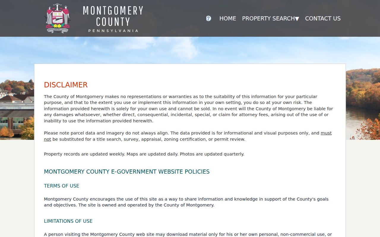
The parcel form accepts all or part of the number, which helps when a deed or map supplies an identifier more clearly than a street label.
Advanced Search is best used for its documented property criteria, such as municipality, street name or number, sale date, sales price, lot size, style, or TaxMapID. It is not a person search and does not offer a ZIP-code criterion.
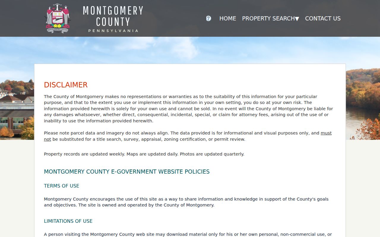
The advanced screen makes the County’s property-focused limits visible and keeps a street search tied to a documented address field.
Property Location Is Not Residence
One of the most important limits in any street directory is the difference between a property location and a mailing field. County assessment and tax material can display an owner name and owner mailing address, while the property-information area identifies the parcel’s official location and use description. A correspondence address may be a post-office box, an agent, another property, or an estate contact. Label it exactly as the record labels it. Do not convert it into a claim about a person’s present address.
The same care applies to a deed party, permit applicant, historic directory subscriber, or voter record. Each is a dated fact from a particular system. A recorded transfer can establish that an instrument was filed, but it does not identify every person connected with a property. A period telephone listing is a valuable historical lead, but it is not a census. Compare independent sources and dates before drawing a conclusion about an Upper Moreland Township address.
- Parcel
- The County identifier connecting an official property location to assessment records, maps, and deed research.
- Situs address
- The official physical property location used in the assessment roll. It can differ from an owner’s mailing address.
- Plat or plan
- A recorded map or subdivision reference that can identify a lot or block when an older street number is unclear.
- Criss-cross directory
- A period directory arranged by address or telephone, used as a dated research lead rather than a complete household list.
Note: A labelled mailing address belongs to the assessment record, not to an assumption about present residence.
Map an Upper Moreland Township Street
County map tools add spatial context after the address and parcel are known. The assessment Map Search and County Open Data applications can orient a parcel against nearby roads and available public layers. They are useful when a record uses a subdivision, lot, plan, or older road reference. The County says its GIS information is provided as is and should not be construed as a legal description, so a drawn line must be checked against the property record and recorded documents.
The Township’s published street and ward maps help separate municipal geography from postal and election geography. A street may touch a boundary, and the Willow Grove or Hatboro postal name on a document does not determine the official property location. Court districts, voting districts, wards, and ZIP delivery routes answer separate questions. Record the source’s geography rather than forcing all of those systems into one label.
For a current street name, begin with the Township maps page and return to the county parcel record. No official townshipwide renumbering or street-renaming chronology was located. For older work, compare the parcel, legal description, plan, neighboring roads, and period postal wording instead of assuming a modern number has always existed.
Upper Moreland Township Address Files
Upper Moreland Code Enforcement maintains permit, inspection, property-maintenance, zoning, planning, ZHB, and subdivision material. These files can date a project or document an administrative event at an address. They do not create a public street directory. No public historic permit-result index was found, so a useful request identifies the address, kind of file sought, and a narrow time period. Current permit submission moved to an online-only route on August 1, 2026, with appointment-assisted help for someone unable to use the portal.
For an existing administrative record, the next path can be a call, appointment, or a focused Township RTKL request. The Pennsylvania Right-to-Know Law is a route for Township and county administrative material, but it does not override court rules, vital-record limits, sealed matters, or address-confidentiality protections. A request that names the street, parcel when known, file type, and date range gives staff a concrete record target.
The official Code Enforcement page identifies the public administrative route for property-related questions.
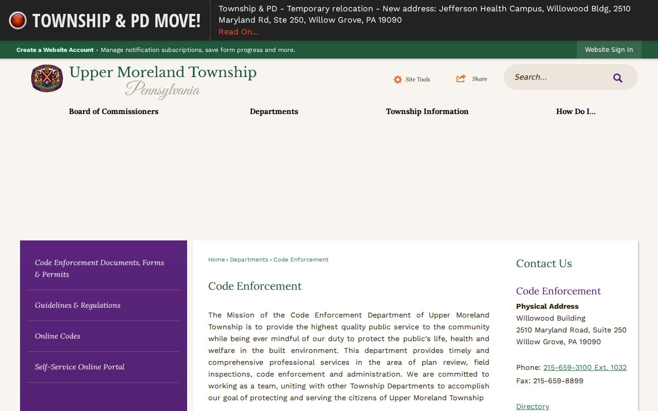
This office image belongs with the address-file step because permit and planning material requires a focused file request rather than a broad people search.
Upper Moreland Township Street Geography
Postal labels are useful clues, but they are not municipal boundary determinations. Township office material commonly uses Willow Grove, PA 19090, while county precinct material includes Upper Moreland facilities with Hatboro, PA 19040 addresses. Hatboro is a separate borough. A street record can carry a familiar postal name without changing the county municipality shown in the assessment system. Check the official location in Property Records before connecting a street to Upper Moreland Township.
The same comparison matters for a voter request. The Township has wards and voting districts, while Upper Moreland voting districts are split between two magisterial district areas. The official self-service voter service is designed for a person to check their own registration and polling place. Broader voter records are controlled by Pennsylvania law, and public-information lists cannot be posted online. The lawful street or walking-list route is a written, qualified request, not a substitute for parcel research.
Note: Postal routing, Township jurisdiction, precincts, and court districts use different boundaries around the same street.
Upper Moreland Township Deed Records
The Recorder of Deeds provides the historical bridge once an assessment search produces a parcel or party clue. Its records reach back to 1784 and include deeds, mortgages, satisfactions, plans, and other recorded instruments. The Recorder says its index is name-oriented rather than location-oriented. Search the current owner or a prior party, document type, date range, address, or parcel as the available system allows, then compare the legal description and plan reference with the parcel record. When a later instrument points to an earlier book or document, use the former owner as a grantee to continue backward.
Remote searching requires an account, and remote image viewing is a paid subscription service. The Recorder also offers counter computers, mail-copy requests, and e-certified copies. A mail request should include the owner name, full address with municipality, parcel ID, book/page if known, requester contact details, payment, and a self-addressed stamped envelope. Some deed, mortgage, and plan book ranges are missing, so a documented gap is not proof that a street has no earlier history.
Review the Recorder’s access and copy details before starting a deed search.
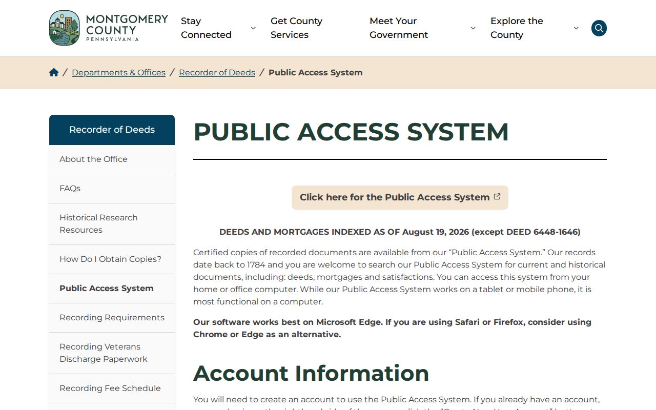
The Recorder image supports the parcel-to-document step: a name, parcel, date, and legal-description trail is more durable than an address-only search.
Upper Moreland Township Street History
Historic directories can help place a street in a particular period, but they must be read as dated sources. The Library of Congress makes a suburban Philadelphia white-and-yellow-pages run from August 1939 through May 1940 available online, and it describes reverse or criss-cross directories as separate address-arranged publications. The Upper Moreland Free Public Library Digital Library and archival repositories are follow-up paths when a period source is needed. Confirm the locality, volume, and year before treating a directory as relevant to one address.
The older Moreland Township was divided into Upper and Lower Moreland in 1916. A pre-1916 tax list, deed, directory, map, or notice may therefore use “Moreland Township” rather than the later Upper Moreland Township name. That is a routing clue, not an error. Preserve the spelling, post-office wording, date, repository, and page or image reference. A later street label should not be silently substituted into an earlier record.
For a one-address historical chain, use the dated collections covered in the Upper Moreland Township City Directory alongside parcel and Recorder records.
Limits of an Upper Moreland Township Street Directory
A property portal can show property facts and labelled ownership context. A recorded deed can show an instrument and its parties. A directory may show a printed subscriber at a stated date. Those facts do not reliably enumerate every person at an address. Utilities, deliveries, protected voter information, and other private data are not part of a lawful address search. The same caution applies to maps: an adjoining drawn parcel is not evidence about a household.
Use the official source that fits the question, preserve its date and access limit, and seek custodian confirmation when a record will matter. State address-confidentiality protections cover eligible address information, and protected records must not be reverse-engineered from public material. A precise request and narrow address trail are more accurate and more respectful than a broad attempt to identify people along a road.
Use Upper Moreland Township Street Records Safely
Upper Moreland Township address records are useful for family history, property research, civic questions, and checking a seller’s recorded property trail. They should be used only for lawful, personal research. When a record is uncertain, ask the custodian about the correct copy or request channel rather than relying on a stale index entry.
Lawful use. Never use an address, parcel, directory, or voter record to stalk, harass, intimidate, or harm another person. Respect protected addresses and the limits set by each custodian.